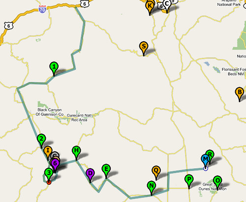
I checked out the path mapping of
CommunityWalk this evening to map out our SW Colorado family trip. It does the job better than expected, as can be seen in the screen shot here. This is the best mapping site I've used,
for my needs. I've tried most of the mapping sites, too.
Although the trip started and ended in Boulder, I started the trip path in Crestone and ended it in Glenwood Springs, to reduce the clutter. Click on the map to go the CommunityWalk site and explore further. (i.e. click on the markers.)
No comments:
Post a Comment